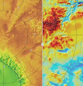
RAID Science Planning Tool An online GIS-based Science Planning Tool is available to all RAID researchers to aid in comparing a variety of datasets. Swipe feature showing ice thickness and bed topography.